About Simple OSM.
|
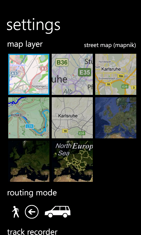
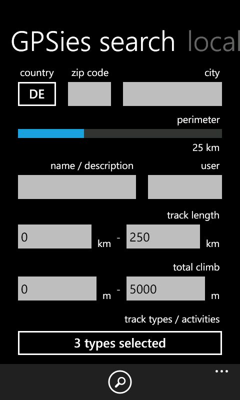
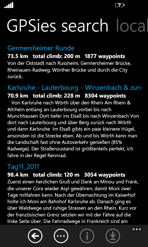
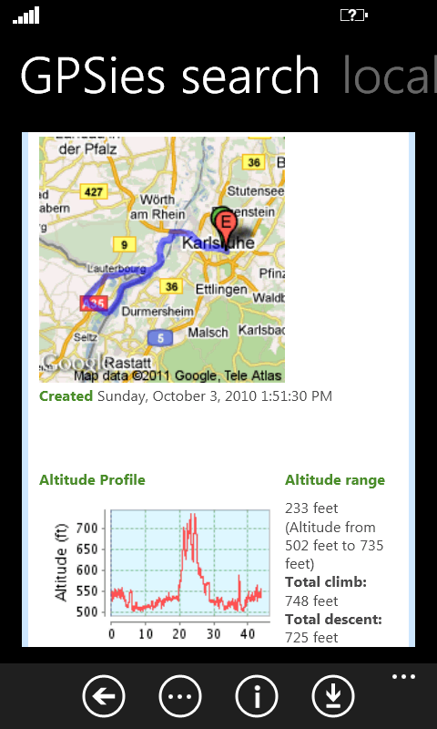
Simple OSM is a reliable OpenStreetMap (OSM) client for Microsoft Windows Phone. Its main purpose is to view and search in maps from the OpenStreetMap project. In the beginning, there were just a small number of features, but until now lots of things have been added: several other layers (e.g. Bing Maps, Google Maps) can be chosen, an advanced search and basic routing functionality is included, saving of favorite locations as well as recording, sending and downloading of tracks is possible. Furthermore, you can search and download tracks directly from GPSies.com, where you will find dozens of categorized tracks. Latest changes:
Key features:
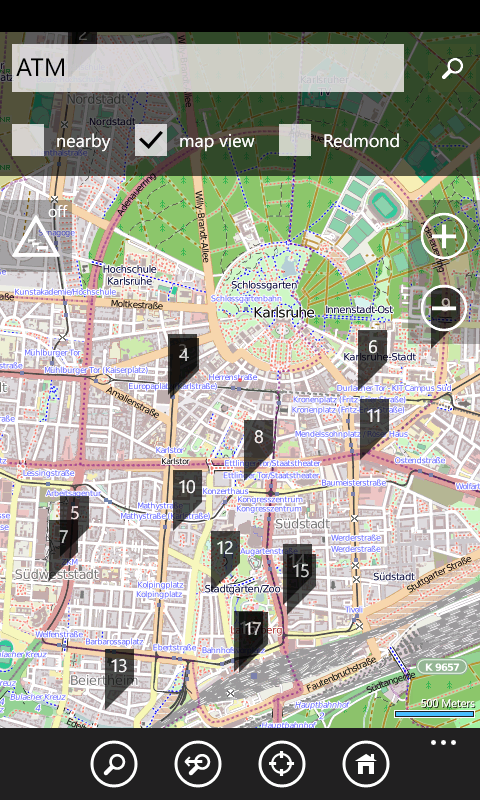
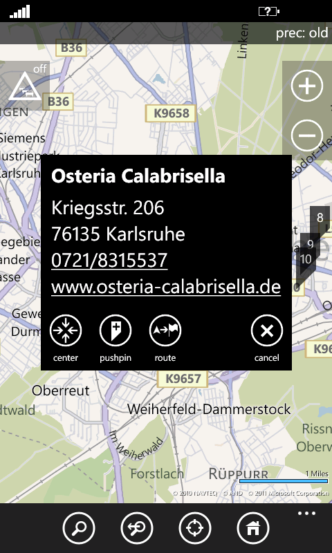
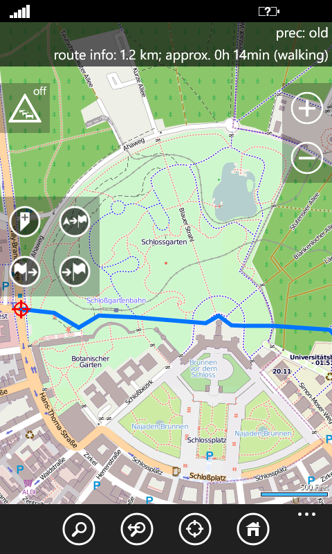
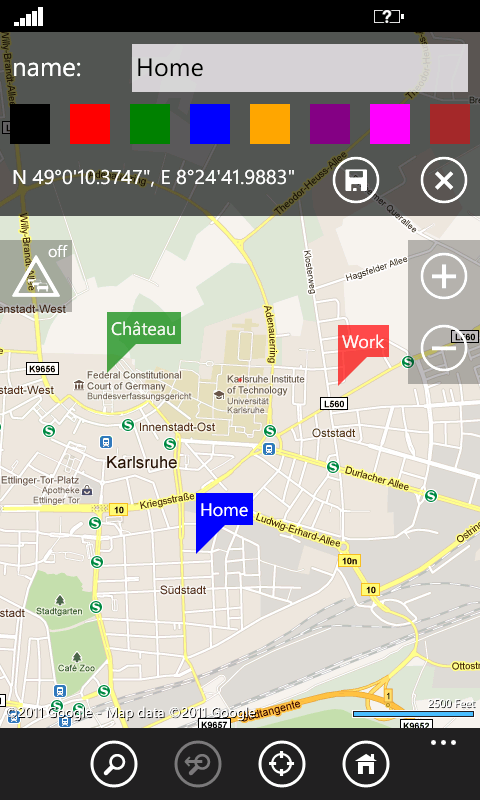
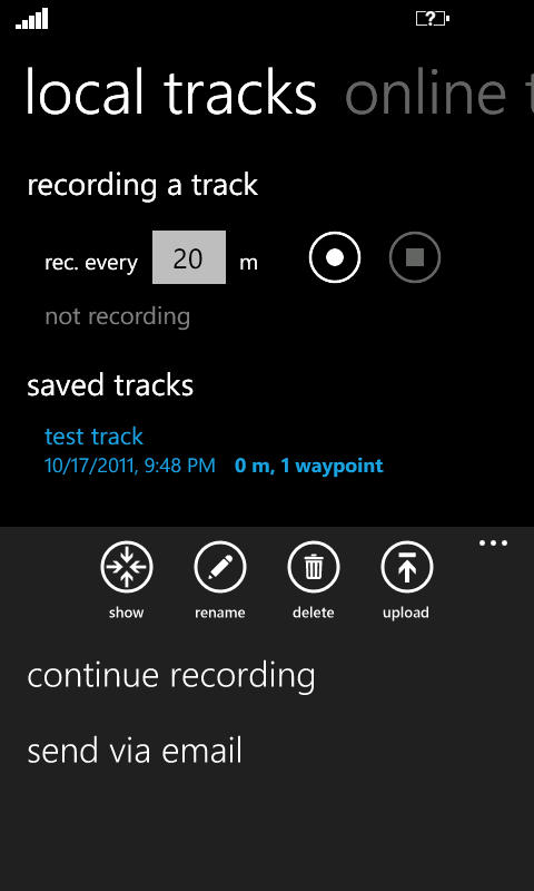
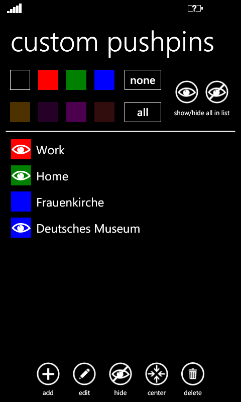
Detailed description:Search results are based on OpenStreetMap (Nominatim) data. Search for generic POIs is possible if the "map view" check box is selected. A list of available phrases can be found here. If your device contains a compass, this sensor will be used to calculate orientation while not moving. The small arrow on the map always points into the direction you are looking - even if you are inside a building. Routes to search results or any custom location can be calculated by long-pressing on the screen. On the settings page, you can also choose whether routes should be calculated for driving or walking. Favorite locations or search results can be saved as custom pushpins to remember certain places. Custom pushpins can be categorized and filtered. Tracks can be recorded and sent to any email address in the gpx format. Tracks in the gpx format can be transferred to the device over this website. Track recording continues when the screen of the device is locked and is automatically resumed if the application was closed or forced to suspend (e.g. due to a phone call). The trial version includes all features, but you always have to wait 30 seconds after application startup before usage is possible. OpenStreetMap tiles are provided by
www.openstreetmap.org |
|
|